Port Development Master Program (PMDP)
2023-2028
The Port Development Master Program (PMDP) 2023-2028 considers two main stages.
Download PMDP 2023 - 2028 Download PMDP 2018 - 2023
Stage 01 (Environmental)
- 8 Environmental Impact Statements (EIS), 7 Technical Supporting Studies (TSJ) and 2 technical field studies.
- MIA-R conditions, perimeter fences 7.47 Km north and south sides
- Environmental monitoring (MIA-R) and environmental supervision (MIA-P)
- API monitoring program of the conditions of the Laguna Madre (MIA-R)
- API benthic fauna study required for dredging increase MIA authorization
- API fauna and flora protection program, shoreline monitoring, rescued and relocated cactus species, etc.
- Avifauna monitoring and protection program for 10 islands (MIA-R)
- Sea turtle protection and conservation program (MIA-R)
- Regional MIA technical economic study update
- Aquatic fauna program and water quality monitoring analysis (MIA-P)
- Wetland restoration actions (MIA-R)
- Program for prevention, mitigation and management of environmental contingencies for climate change (MIA-R)
- Compliance with SEMAR official letter No. 379/2021
- Forestry programs ETJ, MIA-R (modification and implementation)

Stage 01 (Architectural)
- Bathymetry study
- IMT technical study for internal roads of the port 15,520 m
- IMT simulation and certification of operations to determine the type vessels for 11 berthing positions.
- Link to SCT hydrometeorological network
- Topography of the federal maritime-terrestrial zone, to determine the official polygon of land reclaimed from the sea.
- Aerial photogrammetric survey of 340 ha.
- Industrial park P.E. (3)
- P.E. authorities building
- P.E. commercial area
- P.E. fiscal precinct
- P.E. for service road north side 5.50 Km.
- P.E. transshipment dock
Stage 01 (Work)
- Construction of a 3.5 km service berm.
- Maintenance and rehabilitation of the perimeter fence (north) 3.45 Km
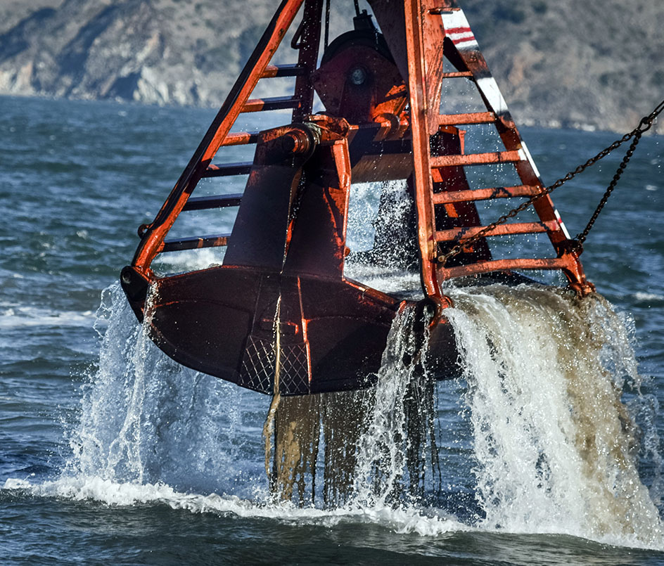
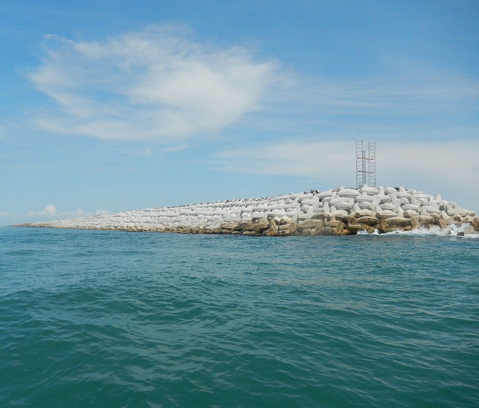
- SEMAR maintenance dredging to -10 m, and construction dredging to 12 m, in main channel, docks and dock fronts.
- Construction of customs section
- Customs office equipment
- Two scales of 120 ton each
- Construction of access control booth
- Construction of 100 houses of 45m2 each (SEMAR settlements).
- Lighting on the perimeter fence
- Windbreak curtain for API offices
Stage 02 (Work)
- Construction of a service road on the north side of 5.50 Km.
- Construction of industrial parks (3)
- Construction of authorities building
- Construction of commercial area
- Construction of a bonded warehouse
- Construction of transshipment dock
- Maintenance of port infrastructure
Stage 03 (Work)
- Subway piping of connecting ducts north side south side
- 250 lps desalination plant for 96,000 inhabitants
- Petroleum products loading terminal
- Roads 4,679 m long x 40 m wide (south side)
- Marginal wharf of 300 m length south side
- 1 Dock 3 operating platform, 300 m long x 75 m wide
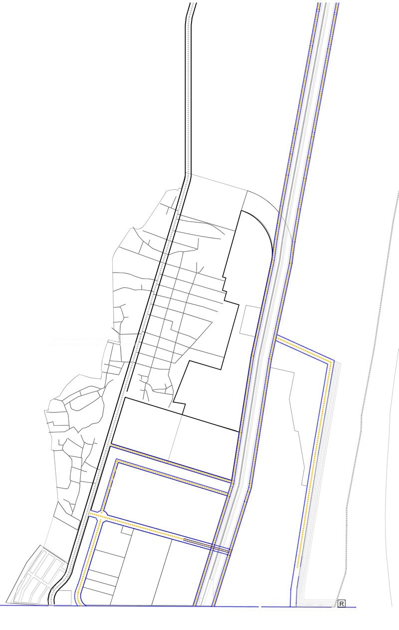
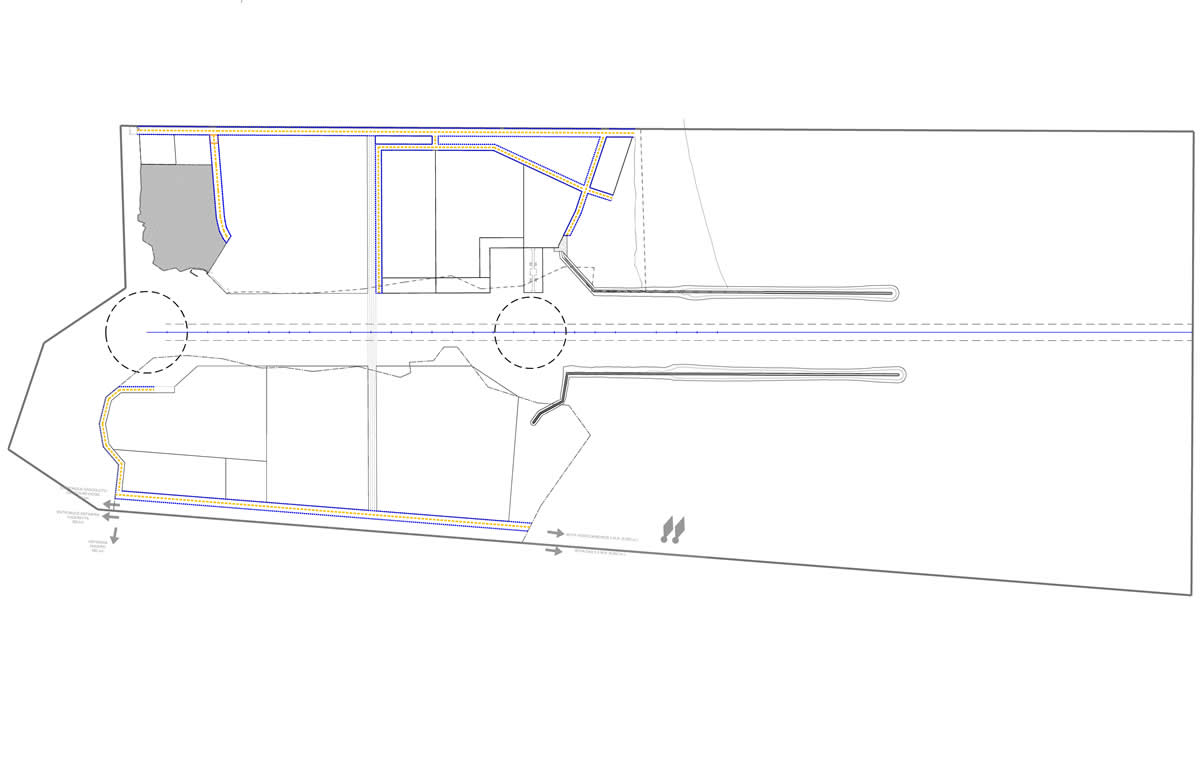
Zoning Map
Its objective is to establish the strategic planning for the port to permanently produce a sufficient, efficient and timely supply of port infrastructure and services to facilitate the movement of vessels and goods.
Strengthen the coordination and efforts of the port community for the development of its surroundings and its area of influence.